
Rainbow Mountain hiking: choose the approach first
Rainbow Mountain hiking takes you into the Vilcanota mountains in the Cusco region. Vinicunca's coloured slopes are the destination, but the approach matters as much as the photograph. Llaqto and Cayllahuire are separate trail starting points, with different access roads and walking descriptions. Choose a guided walk by its actual route, transport and included services rather than treating every short-hike title as the same outing.
The mountain height of 5,036 m and the upper viewpoint above 5,200 m refer to different places in the official inventory dated 12 June 2026. Neither figure tells you the climb from your vehicle. Allow for the return walk as well as the outward journey, and keep a further viewpoint or valley extension separate from the basic mountain visit.
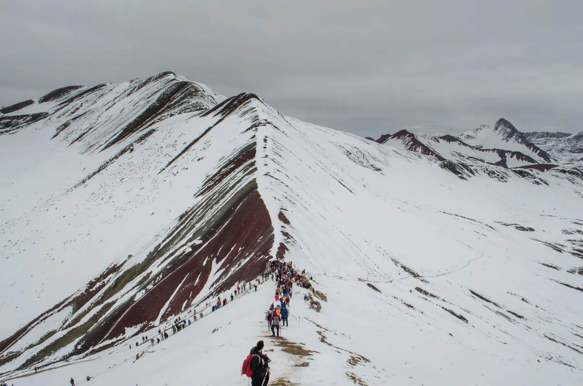
Vinicunca hiking trips
Our take: Choose the small-group hike for hotel pickup and drop-off, or the trip with mountain entry included. The group hike includes walking sticks and breakfast; check its entry arrangements.
Hand-picked tours, booked through Viator. Prices are indicative starting prices in US dollars (as of November 2026). Tap a tour for live availability and the current price in your currency.
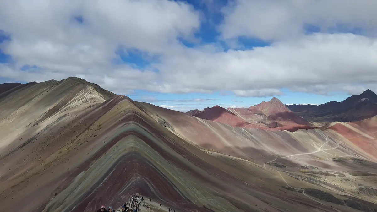
Small-group Vinicunca hike
- Hotel Pick up & Drop Off
- Professional licenced tour guide
- Walking Sticks on request
The guided hike includes lunch and snacks. Confirm entry arrangements when booking.
Check availability →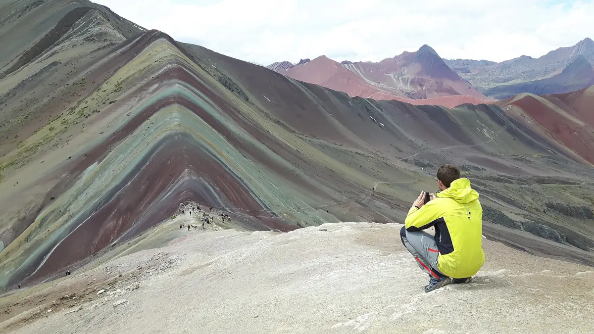
Vinicunca hike with entry
- Entrance fee - Rainbow Mountain
- Breakfast and Lunch
- Professional multi-lingual guide
The mountain trip includes transport from your hotel.
Check availability →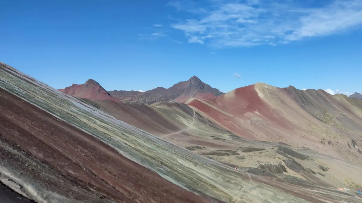
Guided Vinicunca group hike
- Walking Sticks
- Air-conditioned vehicle
- Emergency oxygen
Breakfast and a professional guide are included. Confirm entry arrangements when booking.
Check availability →Guided hikes to Vinicunca
Our take: choose the walk with mountain admission included if you want that fee covered. The small-group hike offers hotel pickup and drop-off, lunch and snacks; walking sticks are available on request.
Llaqto and Cayllahuire are different walks
The Cusipata inventory of 12 June 2026 records the Llaqto outward path as 3 km with an estimated walking time of 1 hour 45 minutes. That describes the trail to Winikunka, not the whole day from Cusco. The road section from Paucarpata to Chillihuani/Llaqto is separately recorded as an unpaved mountain road. Plan collection time, driving and the return to the city separately from the walking estimate.
Cayllahuire belongs to the Pitumarca approach. Its inventory records a shorter path while also describing demanding conditions and poor trail maintenance. For planning, get the starting point and current walking conditions for your chosen departure rather than using the shorter route label as a promise about effort. The getting-there guide explains the separate road approaches.
For a straightforward mountain day, keep Red Valley as a distinct decision. Adding a valley walk changes the day's walking commitment. If your priority is a different landscape with a shorter recorded path, compare Palccoyo as a separate destination rather than another entrance to Vinicunca.
What the guided walks include
The small-group hike includes a licensed guide, hotel pickup and drop-off, transport, lunch in Cusipata and snacks. Walking sticks come on request. Its advertised 8 am departure belongs to that particular product; it is not a general mountain timetable or an altitude recommendation. This option suits a traveller who values the hotel-to-hotel arrangement and wants the included food spelled out.
The admission-included walk combines hotel pickup and transport with an English- and Spanish-speaking guide, breakfast, lunch and Vinicunca entry. The group walk with breakfast includes a professional guide, walking sticks and an air-conditioned vehicle. Compare the service bundles directly: an included breakfast is a different benefit from an included mountain ticket. The wider Cusco day-tour comparison covers other ways to visit.
Altitude illness and acclimatisation
Cusco itself is about 3,350 m high. CDC guidance published on 23 April 2025 for its 2026 Yellow Book describes the first 3 to 5 days as particularly important for acute acclimatisation. Fitness does not determine susceptibility, and children can also be affected. During the first 48 hours, the guidance calls for light activity and no alcohol. Your response to altitude still matters after spending nights in Cusco.
Headache, loss of appetite, dizziness, fatigue, nausea or vomiting after gaining height can indicate altitude illness. Stop ascending if symptoms develop. Worsening symptoms at the same altitude require descent; confusion, difficulty walking or breathlessness at rest require urgent descent and medical help. Discuss existing conditions and individual prevention with a clinician.
Horses and personal equipment
Horse rental is recorded around Pampachiri/Cayllahuire, Chillca and Hanchipacha. Treat it as a separate local service: establish the section covered and conditions rather than planning on a ride all the way to the viewpoint. A horse reduces walking effort but does not remove altitude exposure. Carry your own walking clothing and weather protection, and distinguish requested sticks from equipment supplied as standard. For the seasonal planning context, read when to visit.
Questions about the walk
How long is the walk from Llaqto?
The June 2026 inventory records 3 km and an estimated 1 hour 45 minutes outward. Include the return and road travel separately when planning your day.
Does the guided walk include admission?
The hike described here with mountain admission includes Vinicunca entry, breakfast, lunch and hotel pickup. Compare that bundle with the small-group hotel's return service and the breakfast group walk.
Can a horse replace acclimatisation?
A horse can reduce physical walking effort, but you remain at high altitude. Preparation and responding to symptoms still matter, including turning back when needed.